
Geologists estimate that the Pacific Northwest Coast has a 37% chance to be struck within the next 50 years by one of the most devastating earthquakes ever recorded. The question is not a matter of if this will happen but when, and whether or not we will be adequately prepared for it. Unfortunately there is no way for us to predict the precise timing of a natural disaster, however we can take steps to prepare and put systems in place to help mitigate the impact. The advent of Web 2.0, mobile devices, and Big Data technologies present a unique opportunity to prepare for and respond to these events.
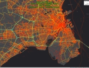
During the aftermath of the 2010 Haitian Earthquake, Volunteered Geographic Information (VGI) and crowdsourcing played a fundamental role in the disaster response effort. Relief workers were able to use information provided by the local and global communities to deliver resources such as food, water,and medical supplies to impacted areas. For most of the natural disasters that have occurred in the past couple of years, the VGI was collected after the disaster took place but what would a relief effort look like if the VGI was also collected prior to the event? This is where Moonshadow Mobile’s Ground Game technology comes into play.
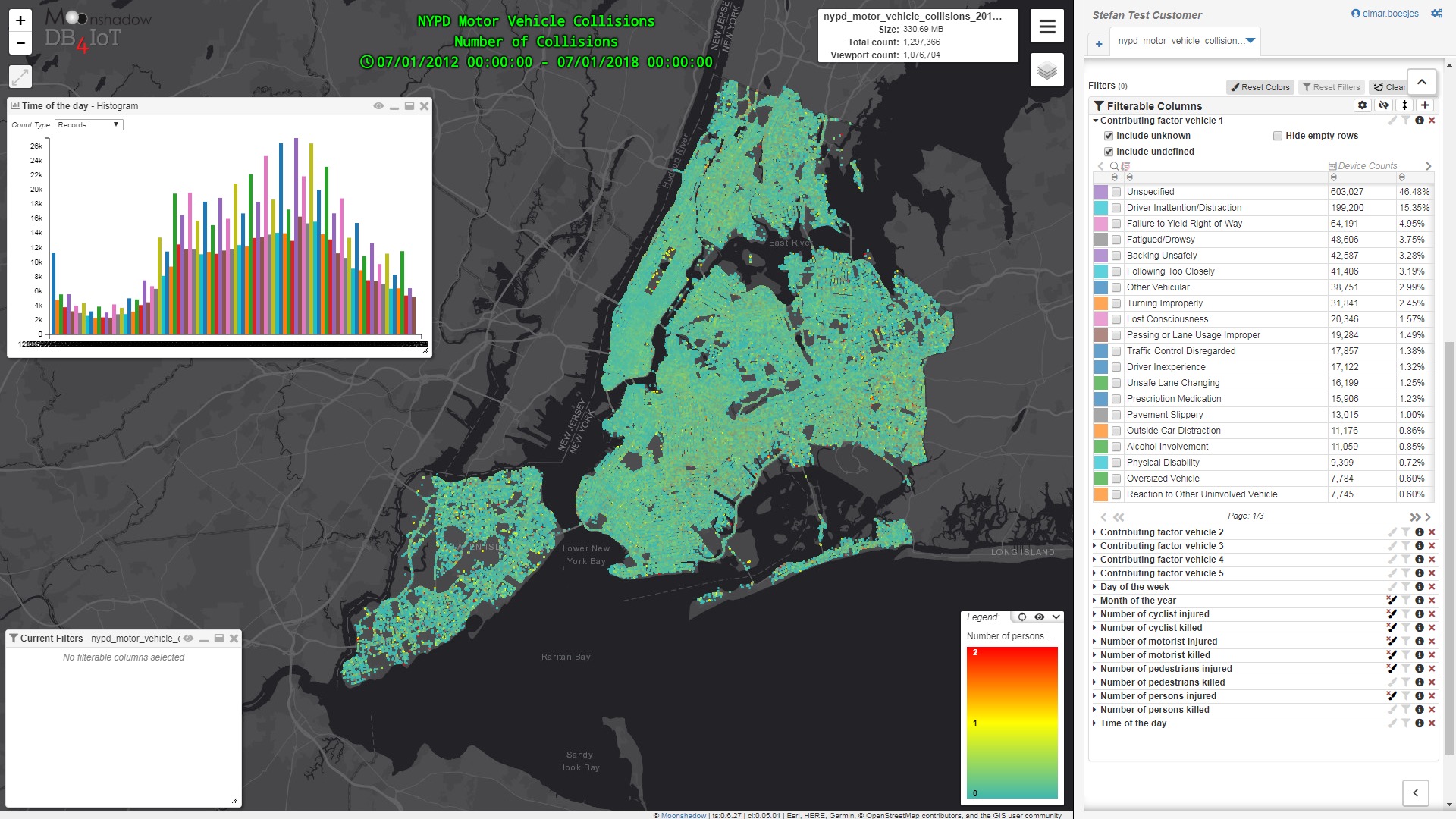
Before a natural disaster takes place, Ground Game can be set up and used to collect medical data and other valuable information about individuals through a VGI system. This would allow citizens in the community to log in, create a profile and voluntarily report their medical conditions, resources, living situation, etc. As data is collected it would be matched and used to enhance an extensive database of more than 220 million adult records across the United States, providing further demographic and economic information such as location, phone number, dwelling type (apartment vs single family house) etc. This information would be readily available to emergency responders and medical technicians in case of a Mass Casualty Incident (MCI) and to help prepare for these situations.
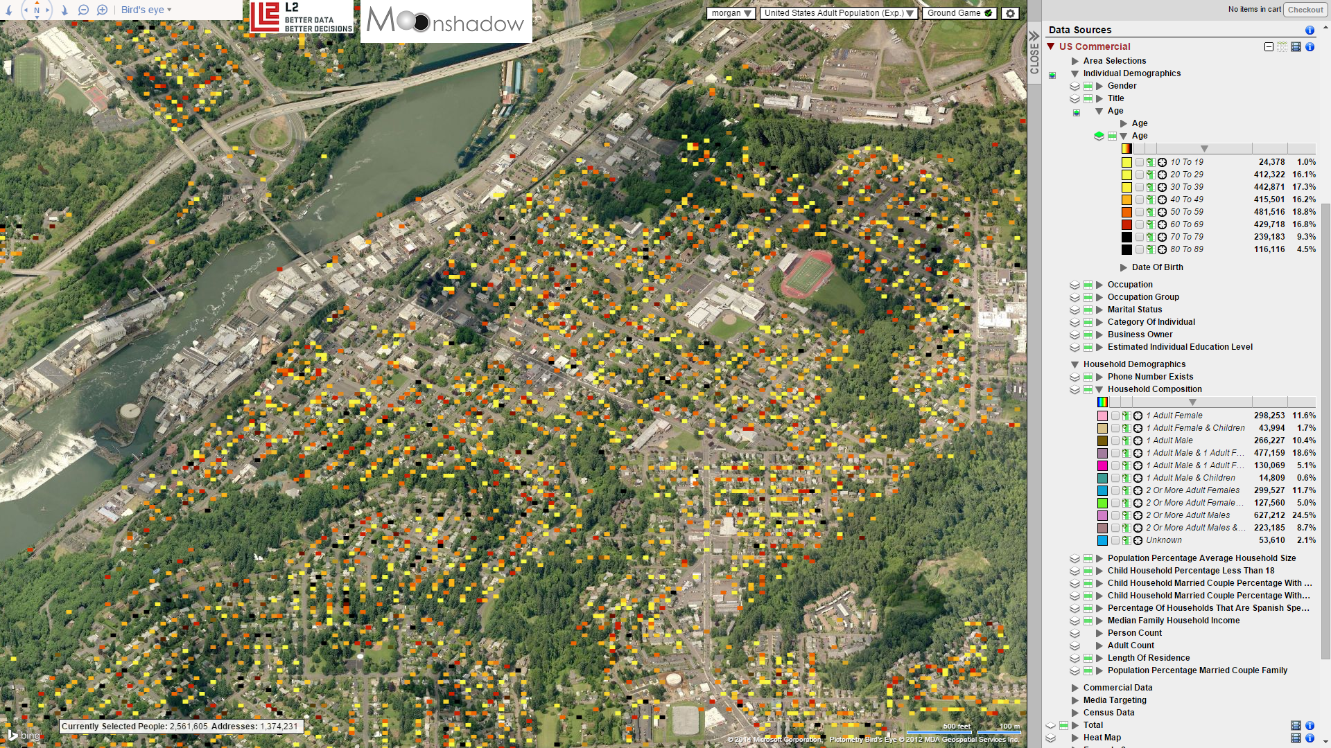
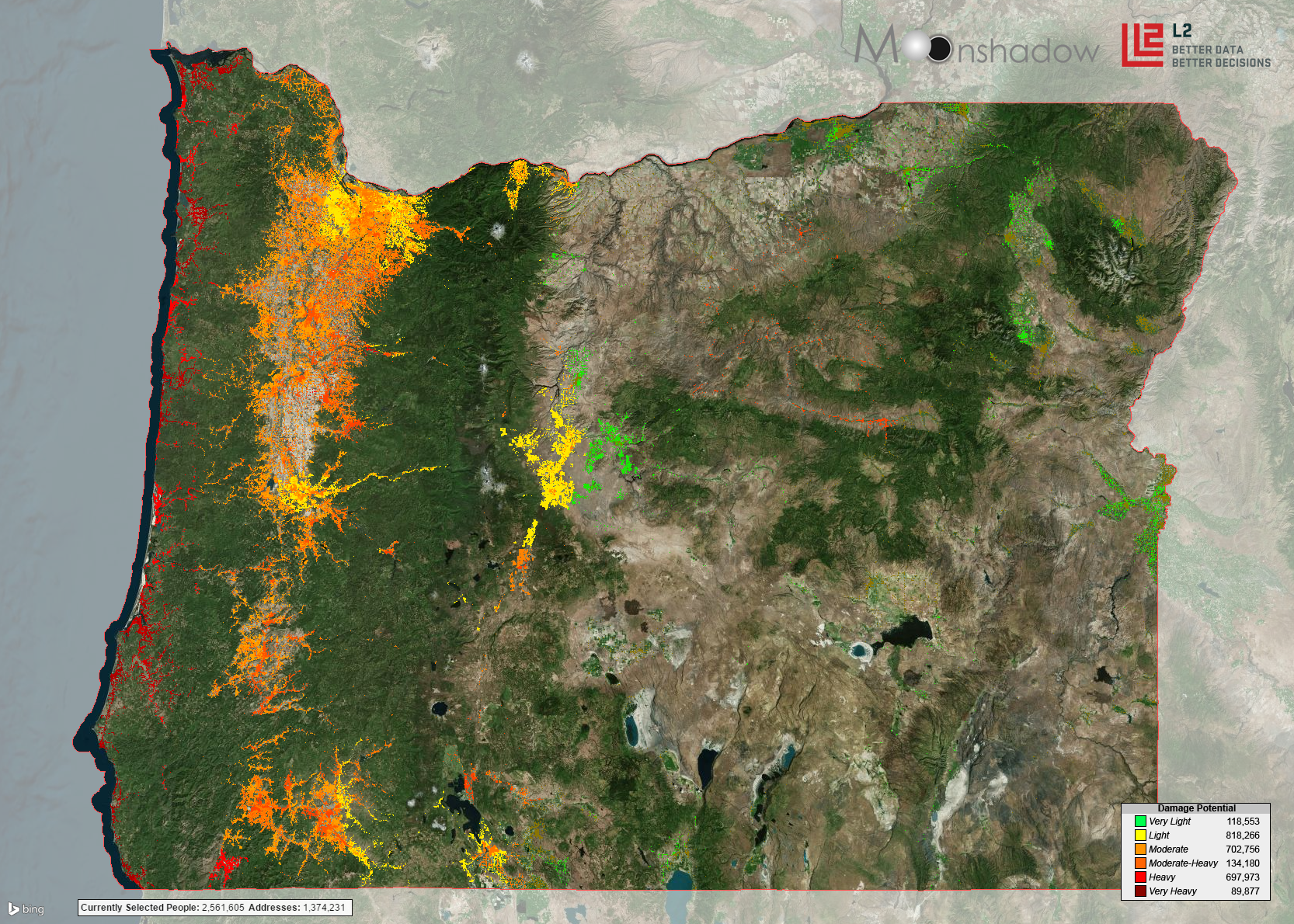
Once an MCI takes place and the Unified Incident Command System has been implemented, the Incident Commander (IC) and Section Chiefs (Operations, Logistics, & Planning) will be able to use Ground Game to analyze and cross-reference the volunteered data and the commercial data sets. With each person in the community pinned on a map, leaders can use this information to draw conclusions about which areas need the most help. Perhaps individuals with higher income levels typically have more food and water than others, a certain demographic group needs a specific type of medication or a vulnerable population is located near an incident site. With the data collected through Ground Game these questions and many others could be answered in seconds with a few mouse clicks and a glance at the map. Using the information at hand, the Incident Commander can assign areas to the response teams and alert them as to what individuals are in the area and what pre-existing medical conditions they may have. This gives response teams the information they need to properly prepare and supply themselves for the task at hand.
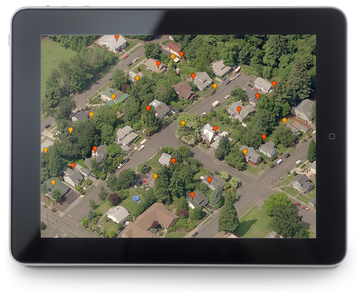
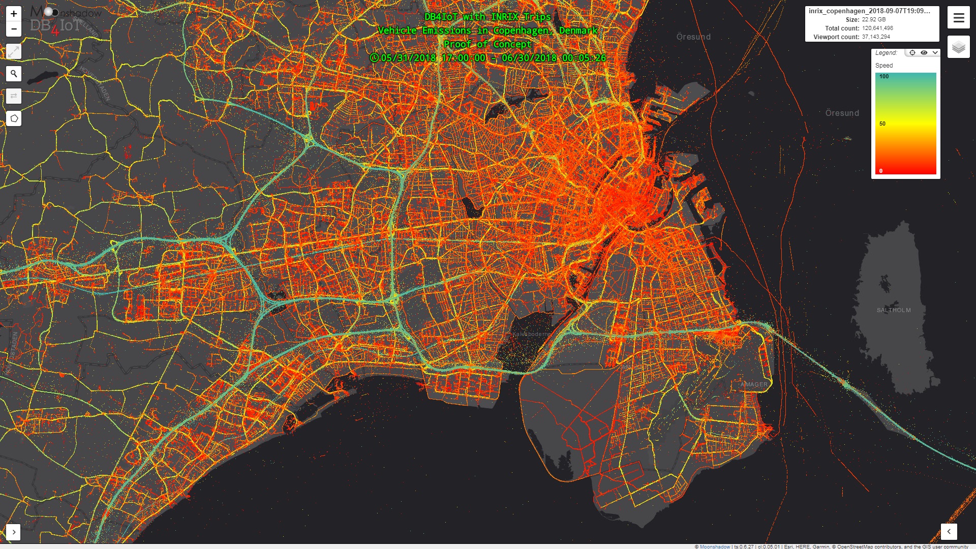
Once in the field, response teams can use Ground Game to collect further information using customizable surveys about an individual’s conditions, triage status and needs. As this field data is collected it can be instantly pushed and made available to the Incident Commander and their Section Chiefs. The Incident Commander can then make decisions based on the real-time field intelligence as to where to send additional resources and personnel. This dynamic exchange of information can provide a clear birds-eye view of the situation at hand and help the incident commander make better informed decisions. The information gathered through and utilized by Ground Game will not only help us to deal with the issue at hand but also leave us more prepared for the future.
