
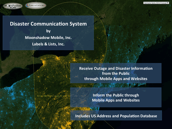
Moonshadow Mobile and Labels & Lists have teamed up to create a system for communication between Emergency Management providers and the public during disasters. The “Disaster Communication System” combines the power of mobile apps and the imagery of Bing Maps with a complete database of the population in the US. The DCS currently contains data on over 150 million people on 110 million addresses. In the next six months the system will be expanded to include the complete adult population data in the US.
Emergency Management and the Public communicate through mobile apps after a disaster has struck.
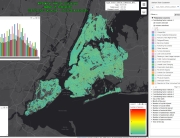
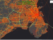
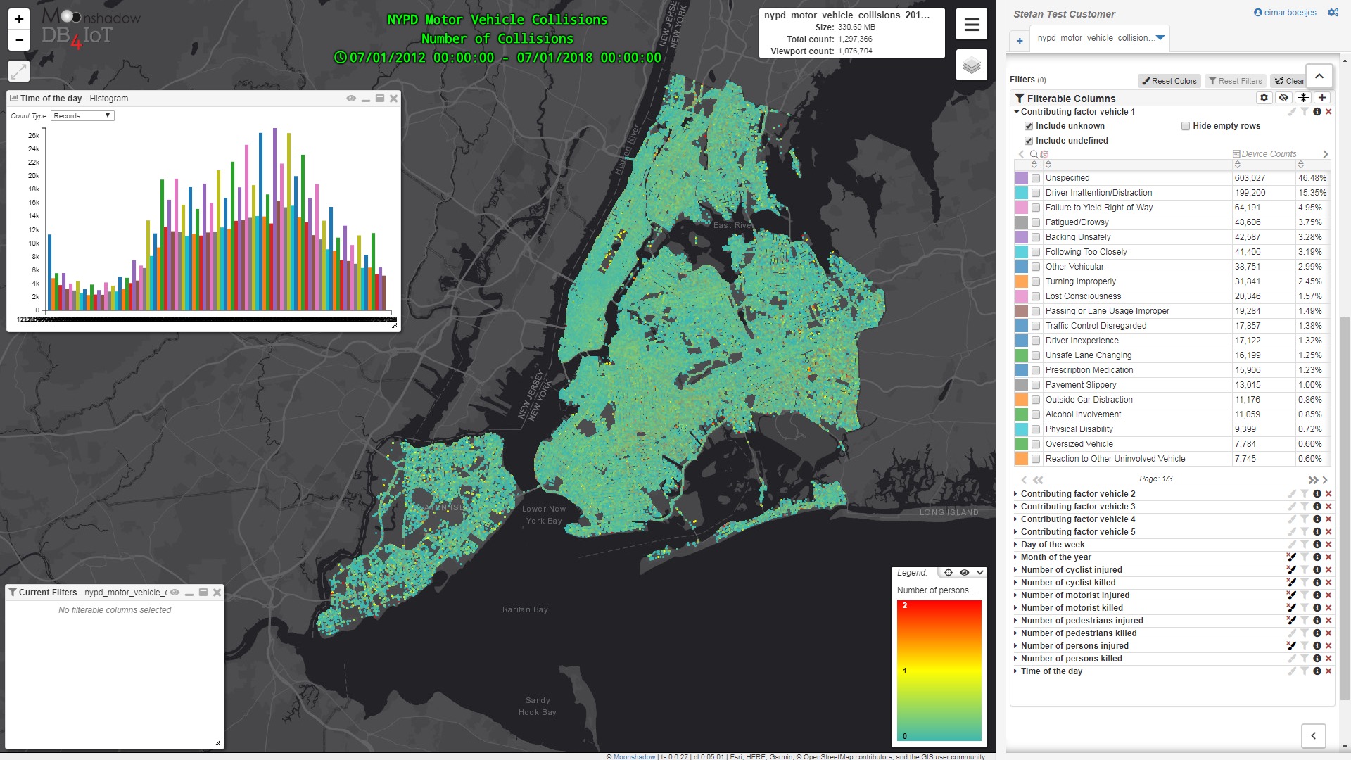
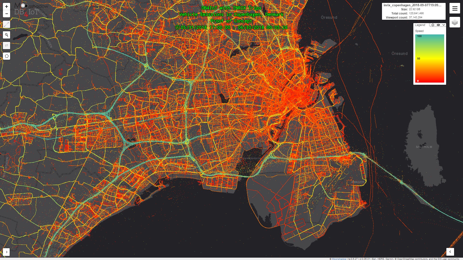
All addresses are mapped in Bing Maps so Emergency Management can look at the population of an area while looking at maps, satellite images or even areal photos using Bing Maps. Area’s can be selected to instantly retrieve detailed data on the population whether you are looking at a city block with 200 people or a complete state with 10 million people. By using DCS Emergency Management can quickly see who lives in an area and retrieve contact information. The public has access to the mobile component of the DCS. They can download the “Ground Game” mobile app on their iPhones, iPads or Android devices. Within the Ground Game app they can report outages or problems to EM staff. These reports are automatically uploaded to the central databases and are visualized in Bing Maps for Emergency management personnel. DCS can be deployed within a matter of hours for any part of the US. Moonshadow Mobile has created API’s to allow EM organizations to augment the DCS data with their own information to make the system even more powerful.
Please contact Moonshadow Mobile for more information.
