What We Do
We specialize in big geospatial and timeseries datasets
We compress the data lossless so it can be managed, analyzed and visualized.
We've created a proprietary specialized database engine:
What We Offer
Products and Consulting Services to solve your Data management problems
MMZIP
Reduces the size of the data to only 10% thus processing data 30x faster.
90% reduction in power use
90% reduction of bandwidth use
90% reduction in cost
Data transfers are 10x faster
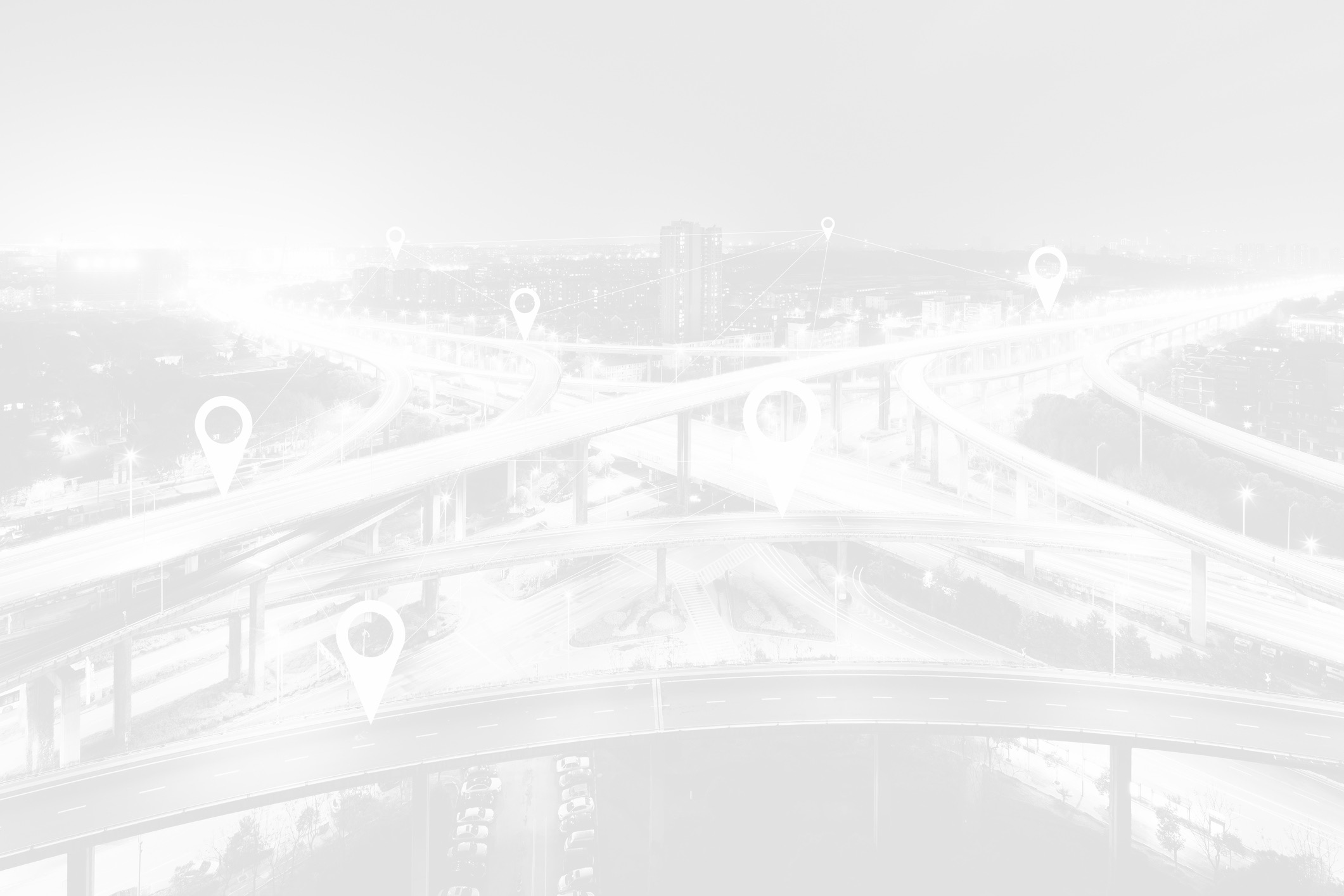
DB4IoT Mobility Analytics Platform
Visualization and analytics platform for historic mobility data
Runs in the cloud
Used by transportation planners and engineers
Moonshadow Live Traffic
Visualization and analytics platform for live traffic data
Latency of 90 second or less
Runs in the cloud
Used by transportation operation teams
Big Data Visualizer
Include Moonshadow’s DB4Iot engine in your own
big data visualization and analytics solution
Runs in the cloud, or on the edge and anywhere in between
What We Do
We specialize in big geospatial and timeseries datasets
We compress the data lossless so it can be managed, analyzed and visualized.
We've created a proprietary specialized database engine:
What We Offer
Products and Consulting Services to solve your Data management problems
MMZIP
Reduces the size of the data to only 10% thus processing data 30x faster.
90% reduction in power use
90% reduction of bandwidth use
90% reduction in cost
Data transfers are 10x faster
DB4IoT Mobility Analytics Platform
Visualization and analytics platform for historic mobility data
Runs in the cloud
Used by transportation planners and engineers
Moonshadow Live Traffic
Visualization and analytics platform for live traffic data
Latency of 90 second or less
Runs in the cloud
Used by transportation operation teams
Big Data Visualizer
Include Moonshadow’s DB4Iot engine in your own
big data visualization and analytics solution
Runs in the cloud, or on the edge and anywhere in between